ABOUT THE MAPS
The maps used on our website are part of a significant collection of historic maps collected over many years, depicting Napa Valley and the State of California’s evolution from the 1800’s. We think they capture the essence of our commitment to this place and the land that has given us so much.
LIST OF MAPS
Central Napa Valley and Town of St. Helena, 1881
Napa County, 1876
Napa County, 1895
Napa County, 1915
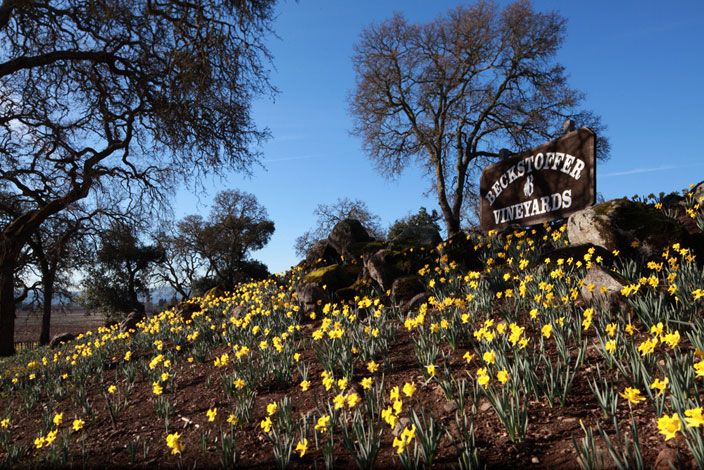
Today, our passion for the land and viticulture expertise extends to the Napa Valley, Mendocino County and, most recently, the Red Hills of Lake County. At the forefront of land conservation and labor practices, we are committed to bringing agricultural sensitivity, business acumen and technology to the industry as a whole, and to each of the communities in which we do business.